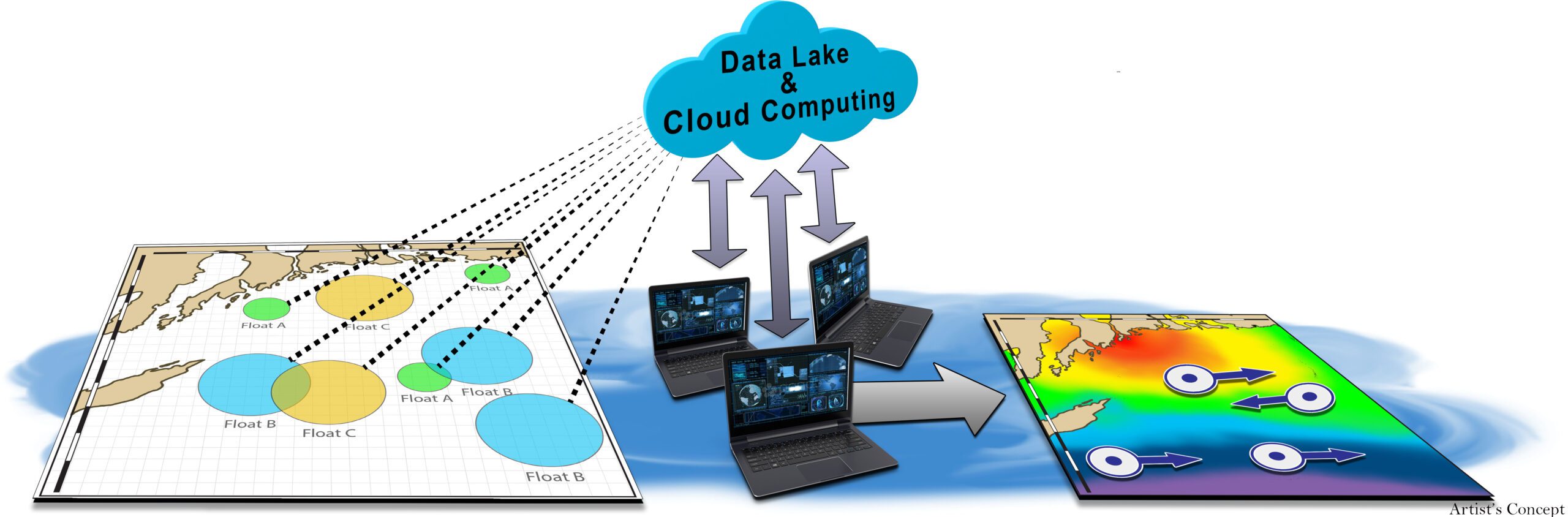
DARPA Ocean Of Things(OoT) to provide automatic detection of Russian and Chinese submarines and ships
The Internet of Things (IoT) is a system of interrelated computing devices, mechanical and digital machines, objects, animals or people that are provided with unique identifiers (UIDs) and the ability to transfer data over a network without requiring human-to-human or…...